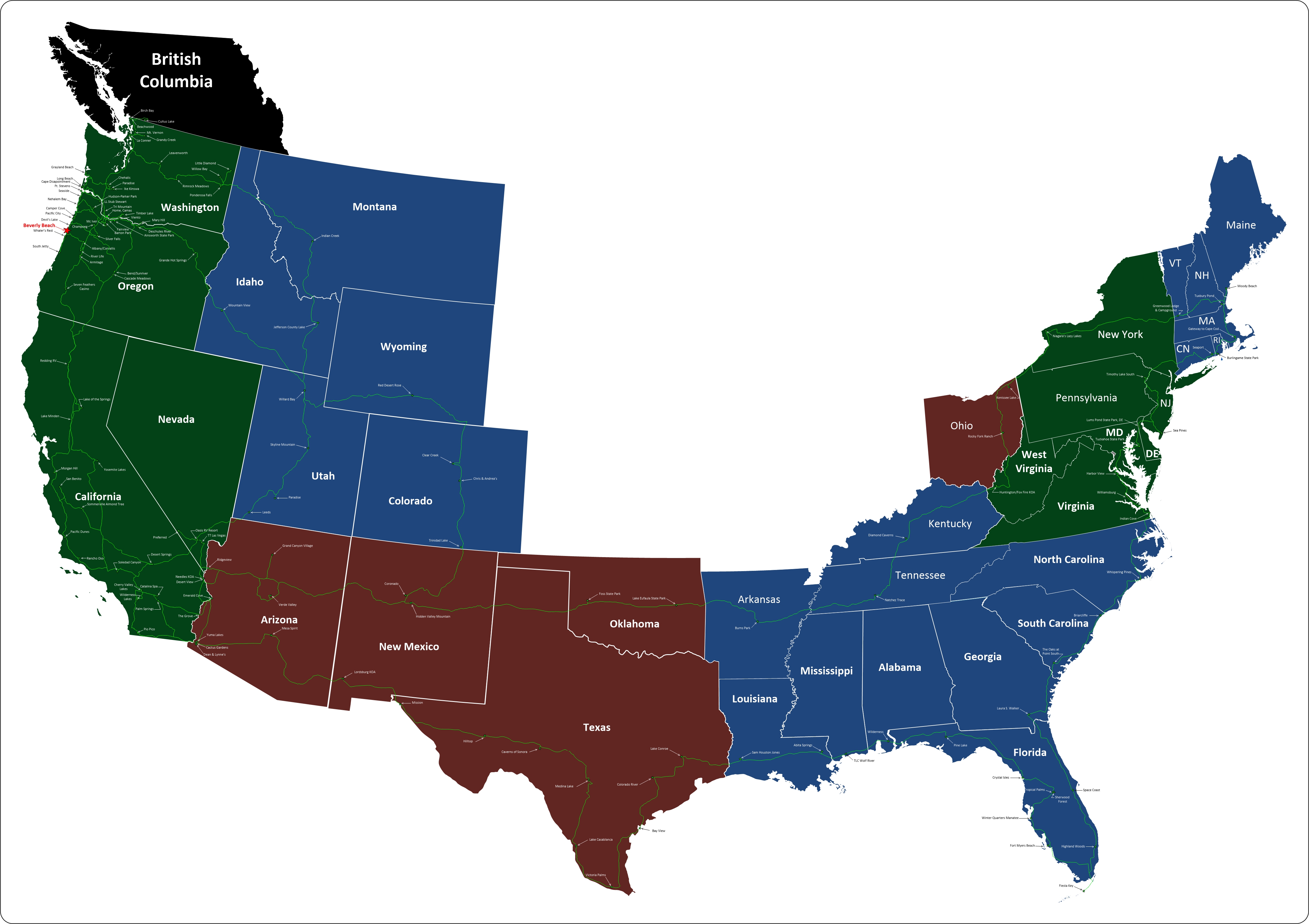
Burlingame State Park, Charlestown, Rhode Island
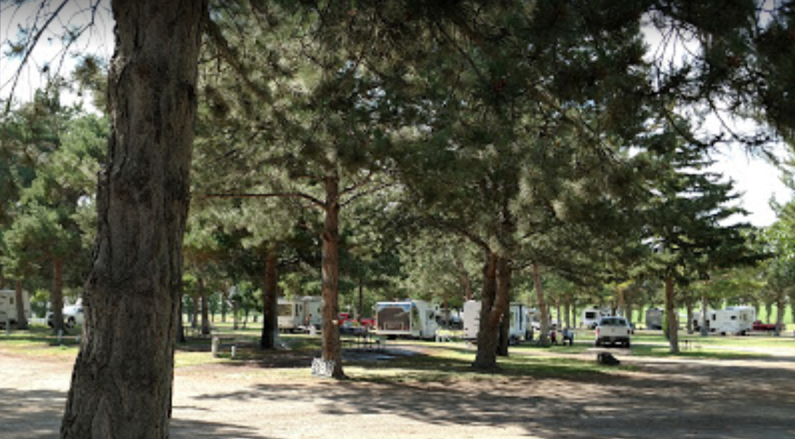
Trying to camp in every state that we drive through, we had to find a place in Rhode Island. Burlingame wasn't our first choice because of the lack of utilities. With our fresh water pump out of commission, it was even less attractive. But we were very wrong. The park is beautiful and we're very glad we stopped. We only stayed the one night, but we should have stayed longer. The park is quite large with hundreds of large campsites. There are also cabins as well, all without utilities. However, there are a few nice shower/bathrooms in the park and lots of clean portable toilets between them. The roads are paved and the campsites are mostly level. They are more set up for tent camping than big motorhome camping, but I wasn't moved to break out a tent. With a working water pump, I would love to return here and camp longer.
The campground is 3,100 acres of rocky woodland that surrounds Watchaug Pond in Charlestown. This spacious campground features over 700 rustic campsites and 20 cabins with conveniently located restrooms with shower facilities, a playground, arcade, freshwater beach, canoe rentals and hiking trails.
The entrance to the park headquarters and camping area is off US Route 1 in Charlestown, RI.
KNOW BEFORE YOU GO!
UTILITIES: Not available at this campground.
CABINS: Rustic, with no utilities. Two bunk beds available in each. Mattresses and bedding are not provided. Air mattresses are strongly recommended.
FIREWOOD NOTICE: If you are planning to camp during an upcoming trip to Burlingame State Campground, please help protect our public lands by purchasing your firewood at the Burlingame Camp Store. The Camp Store offers for sale quality firewood at a reasonable price for our visitor's convenience and to prevent the spread of pests, which could decimate our forests.
AREA-SPECIFIC: For further information concerning this campground, please read the Area Specific information listed in the RI State Parks Camping Policies. It is the camper's responsibility to read and follow the campground rules and policies. Refunds will not be granted for misunderstanding of the terms.
Burlingame State Park & Campground (1934)
For nearly two centuries, 1702 to 1902, there was only one main road along the Atlantic coast of Rhode Island, the Boston Post Road, familiar to modern Rhode Islanders as Scenic 1A. Begun as a postal route to connect New York and Boston, the Post Road ran by way of ferry connections through Newport or took the mainland road up the west side of Narragansett Bay through Wickford, East Greenwich, Apponaug, Pawtuxet to Providence. The coastal road not only connected Westerly to Narragansett, but it separated the flat meadowlands and salt ponds of Charlestown and South Kingstown from the woody, rock-strewn uplands that led towards the river systems of the Pawcatuck and Wood.
In the 18th century, the broad strip of meadowlands stretching from Point Judith to Westerly was the home of the Narragansett Planters, the large farms of the Robinson, Hazard, Helmes, Champlin, Babcock, Burdick, and Stanton families. These were mostly livestock farms: sheep herds, cattle, and the famous Narragansett Pacer horses. The shoreline crescent of sandy barrier beaches backed by a necklace of salt ponds went largely unappreciated for its recreational qualities until late into the 19th century when people from out of state began to rent summer homes and set up tent communities to enjoy the pleasures of the sea. At either end of this strand were the formal resort hotel destinations of Westerly’s Watch Hill and Narragansett Pier. When the state park system for Rhode Island was created in1904, the Atlantic coast was beyond the scope of the Metropolitan Park Commission. The Commission at first sought to bring recreational relief to the Providence urban core and nearby population centers.
Some twenty-five years later, however, the original concept of a ring of parks around Providence, connected by scenic parkways, was expanded to the shores and woods of Rhode Island’s South County. The expansion, however, focused not initially on the barrier coastal beaches, but on the woody, rocky northern fringe of Route 1. Following the lead of the Audubon Society’s creation of the Kimball Wildlife Sanctuary in 1927, the Metropolitan Park Commission began acquiring woodland around Watchaug Pond, leading to the establishment of Burlingame Reservation, and, ultimately, Burlingame State Park and Campground. The making of the state park resulted from assembling adjacent parcels, either by direct purchase or through condemnation. One of the purchases was that of a private club lodge and 498 acres of land. Under the terms of the purchase of Chomowauke Lodge, full ownership of the property was not transferred to the state until 1960. United States Senator, Theodore Francis Green, was the last private member to join in September of 1930 and the last to pass away. At first, in 1930, the land was just a wildlife preserve. By 1934, it was opened as Burlingame State Reservation or state park. The 3100 acres evolved into the state’s first camping ground. It was named after the Commission’s long-standing chair, Edwin A. Burlingame.
During the 1930s, taking advantage of the public works programs offered by the Depression-era New Deal, Burlingame became home to the 141st Company of the Civilian Conservation Corps. It was the first, the state headquarters, and one of five such camps in Rhode Island. Beginning in 1933, out of work young men, in their late teens and early twenties were put to work making roads and trails.
In addition, they built fireplaces, campsites, and picnic areas, while making recreational improvements to the beaches of Watchaug Pond. Forest management activities went on throughout Rhode Island, particularly in the aftermath of the Hurricane of ’38 which downed thousands of trees and disrupted roads and public improvements. The CCC was disbanded in 1942 because of the overwhelming need to draft manpower for WW II.
In the course of the War, because of its proximity to the Charlestown Naval Air Station, Burlingame was used to house Naval personnel. At other times, it was an army camp, a rest stop for British Navy personnel. It even did duty as a prisoner of war camp. Following the war, a portion of the park served the American Legion as a youth summer camp. “Legion Town” re-used facilities employed by the CCC from 1946 until 1961. For a long time, all the Christmas trees used at the State House holiday season came from Burlingame.
Beginning in 1991 a four-phase upgrade of the camping sites, sanitary infrastructure and maintenance amenities was undertaken. Using a combination of National Park Service grants and the state’s Recreation Area Development Funds much needed improvements to facilities, some dating back to 1930, commenced. Other public funds from the Federal Environmental Protection Agency and DEM have been used to study the yearly cycle of Watchaug Pond so that the cleanliness of the pond can be observed and maintained.
Activities at the park include 755 campsites, fishing, swimming, picnicking, boating and hiking. The area north of Buckeye Brook Road, abutting the Pawcatuck River, is primarily a hunting area.
Animals at Burlingame include white-tailed deer, eastern cottontail, gray squirrel, eastern chipmunk, muskrat, mink, raccoon, red fox, white-footed mouse, short-tailed shrew, river otter, and short-tailed weasel. There are probably as many as 80 species of birds that nest in Burlingame, and many more species can also be seen there during the migration periods and in the winter. For example, Watchaug Pond has been notable in recent years as a place to look for wintering bald eagles. A representative sampling of species that nest in Burlingame includes Canada Goose, wood duck, broad-winged hawk, great horned owl, downy woodpecker, great nested flycatcher, blue jay, white-breasted nuthatch, house wren, hermit thrush, cedar waxwing, red-eyed vireo, ovenbird, scarlet tanager, rufous-sided towhee, and chipping sparrow.
A representative sample of amphibians and reptiles include a wood frog, spring peeper, green frog, redback salamander, spotted salamander, eastern box turtle, northern water snake and eastern garter snake.
