Where We Are Now

We landed this afternoon at Ely KOA Journey, pretty much right in the middle of Nevada, elevation, 6500 ft. This is just a stop-over for a night, but it really is a nice campground. We plan to drive around this after and check out the town.
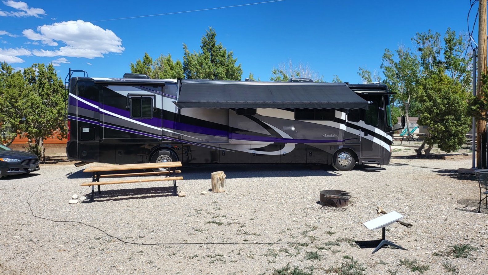
   Ely KOA our site

Where We Are on the Map

Where to Next

From here we're heading north to Idaho. Our first stop is a place called Anderson Camp. We plan to spend a couple of days there so we can check out Shoshone Falls and what's left of Twin Falls
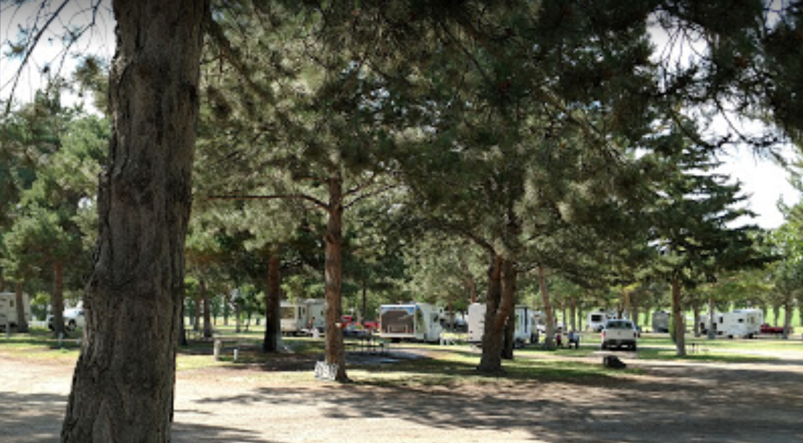
 Anderson Camp Stock Photo

Top Panel
Friday, 01 November 2024

Screenshot 2022 05 20 click to return

Alaska

From Wikipedia

Alaska is a U.S. state in the northwest extremity of the United States West Coast, just across the Bering Strait from Asia. The Canadian province of British Columbia and territory of Yukon border the state to the east and southeast. Its most extreme western part is Attu Island, and it has a maritime border with Russia (Chukotka Autonomous Okrug) to the west across the Bering Strait. To the north are the Chukchi and Beaufort seas southern parts of the Arctic Ocean. The Pacific Ocean lies to the south and southwest. It is the largest U.S. state by area and the seventh largest subnational division in the world. In addition, it is the 3rd least populous and the most sparsely populated of the 50 United States; nevertheless, it is by far the most populous territory located mostly north of the 60th parallel in North America: its population estimated at 738,432 by the United States Census Bureau in 2015 is more than quadruple the combined populations of Northern Canada and Greenland. Approximately half of Alaska's residents live within the Anchorage metropolitan area. Alaska's economy is dominated by the fishing, natural gas, and oil industries, resources which it has in abundance. Military bases and tourism are also a significant part of the economy.

In a deal known as Seward's Folly, The United States purchased Alaska from the Russian Empire on March 30, 1867, for 7.2 million U.S. dollars at approximately two cents per acre ($4.74/km2). The area went through several administrative changes before becoming organized as a territory on May 11, 1912. It was admitted as the 49th state of the U.S. on January 3, 1959.

Leave a comment

Make sure you enter all the required information, indicated by an asterisk (*). HTML code is not allowed.

Burlingame State Park Google Map

Campground Menu


Our Route

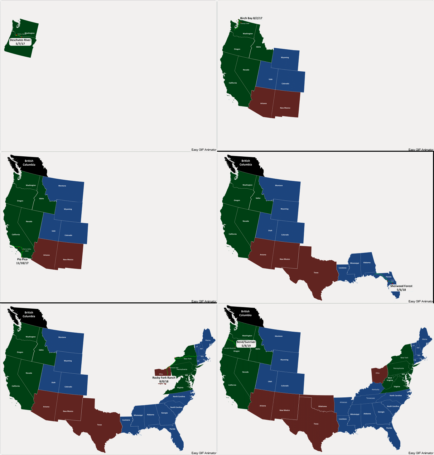
Travels 05 08 19 fast Click on map for a larger, slower view.


Our Travels

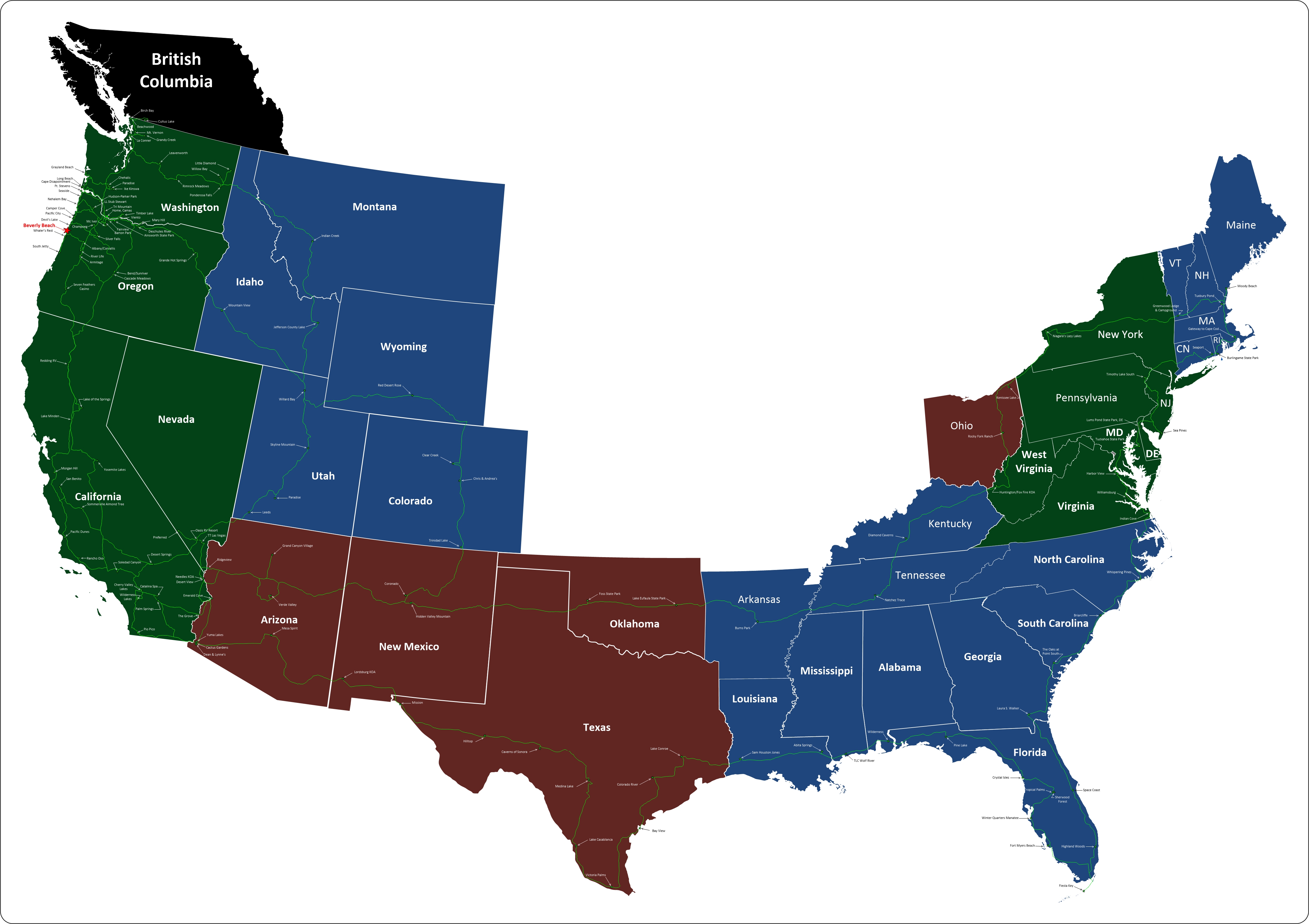
5 31 19 mappClick on map for a larger view.