Where We Are Now

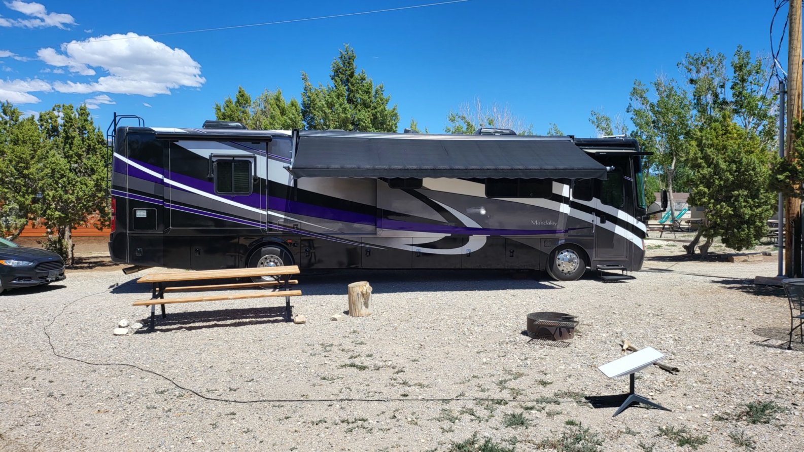
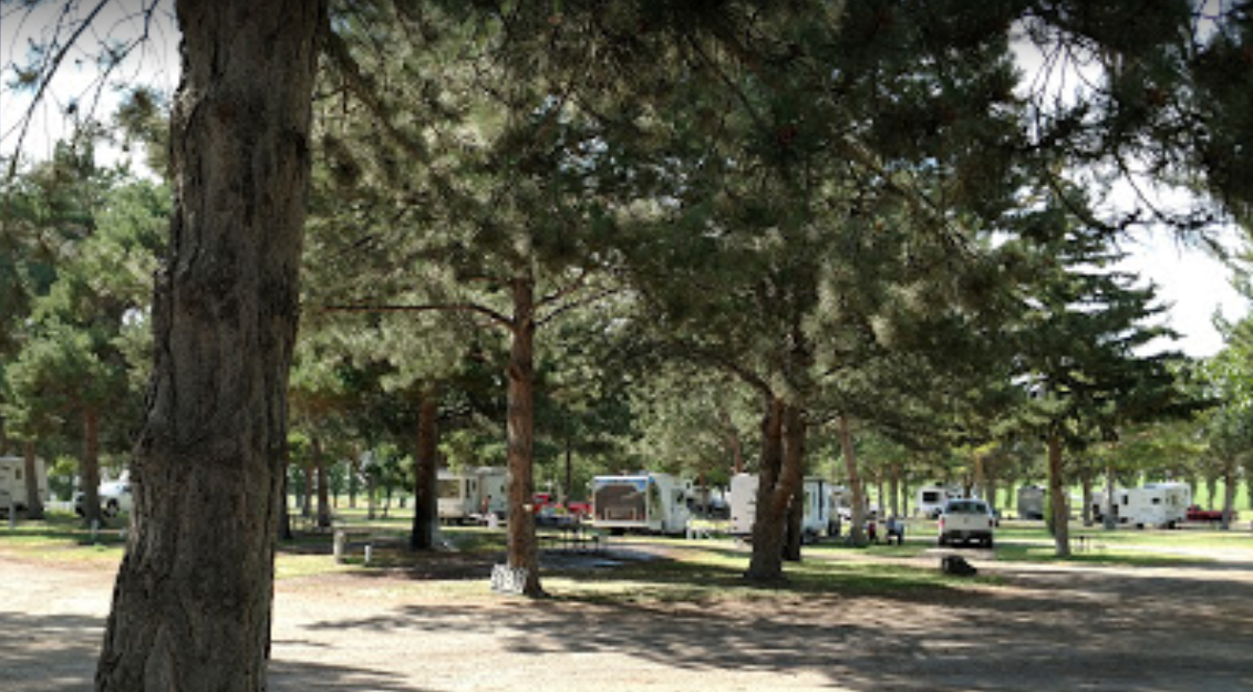
We landed this afternoon at Ely KOA Journey, pretty much right in the middle of Nevada, elevation, 6500 ft. This is just a stop-over for a night, but it really is a nice campground. We plan to drive around this after and check out the town.

   Ely KOA our site

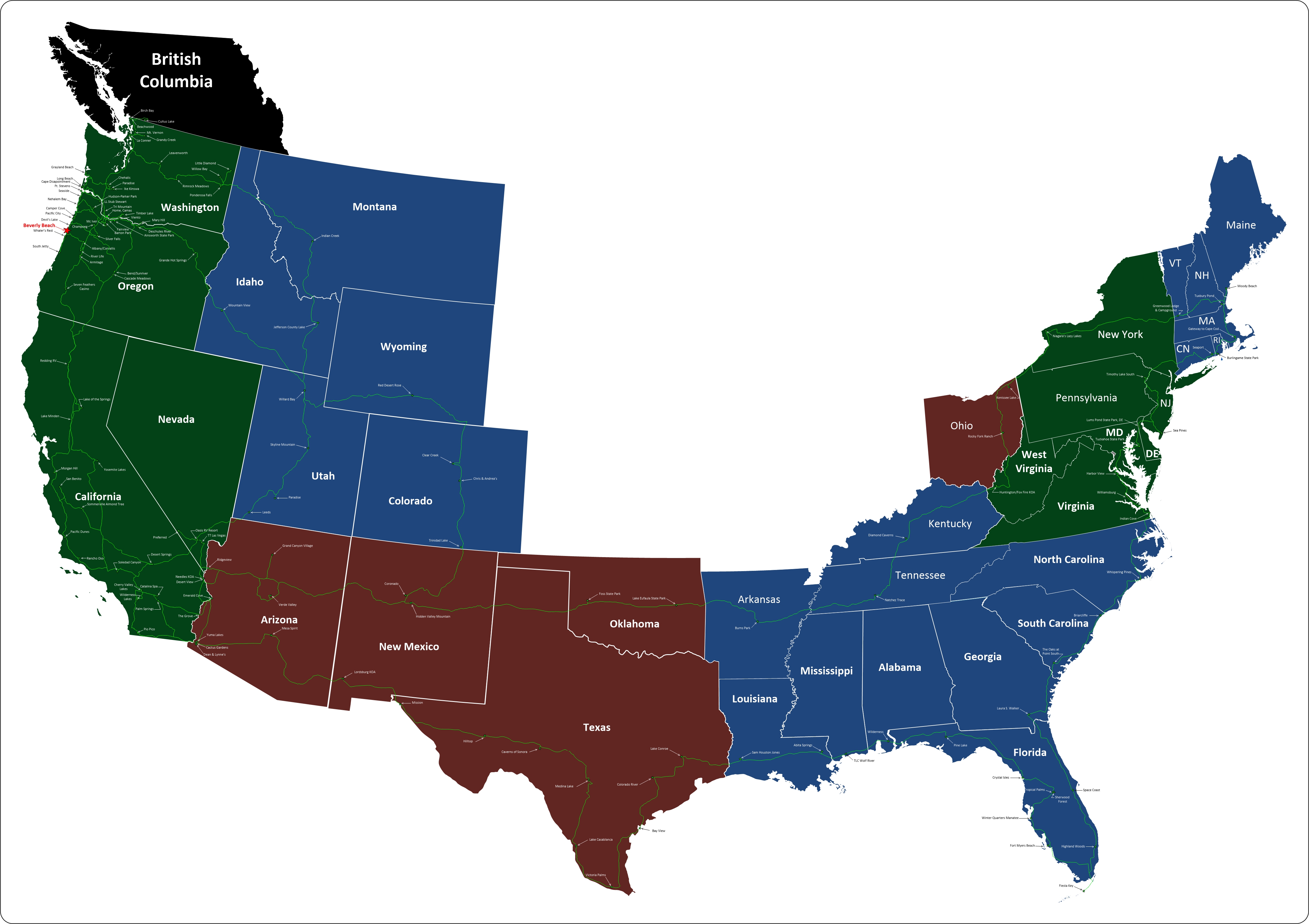
Where We Are on the Map

Where to Next

From here we're heading north to Idaho. Our first stop is a place called Anderson Camp. We plan to spend a couple of days there so we can check out Shoshone Falls and what's left of Twin Falls

 Anderson Camp Stock Photo

Top Panel
Thursday, 21 November 2024

Screenshot 2022 05 20 click to return

LL Stub Stewart State Park, Buxton OR

Our Visit

    Stub Stewart is a great park that we found in the Coast Range.  It features two large RV camping loops with large flat sites each with a very large flat pea graveled area.

Read More

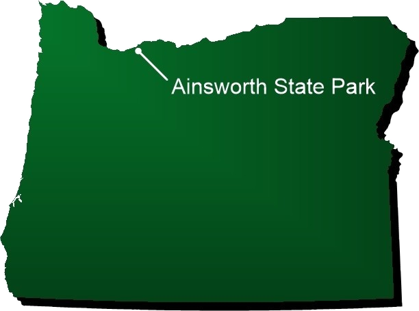
Ainsworth on the map burned 2

It also has a horse camping area with full hookups, complete with horse stalls.  There are several cabins for people who want to enjoy the park but may not be set up for camping.  Also, it is one of three Oregon State Campgrounds with a disc golf course.  (Champoeg & McIver being the other two)   While we were there, the rangers had a night talk on the stars.  There are trails for hiking, trails for horses, and even special trails for mountain bikes.  Overall, the park is outstanding.  Near the park is the Bank-Vernonia State Trail
      "Banks-Vernonia State Trail is the first “rails-to-trails” linear state park built in Oregon. The trail follows an abandoned railroad bed that stretches 21 miles between the cities of Banks and Vernonia. Most of the route consists of an eight-foot-wide hiking and bicycle trail paralleled by a four-foot-wide horse trail. The gentle grade in all but one area allows hikers, bicyclists, equestrians and people of all abilities to enjoy the scenic mountains, fields, and forests of Washington and Columbia counties." Stub Stewart is just about midway along the trail.  The link is a PDF about the trail and its history.

        Our second visit to the park was a last minute thought on Jackie's part.  At 4:30 in the afternoon the day before a camping trip to the beach, Jackie suggests that we find a place to camp on the way to the beach to avoid Monday morning traffic through downtown Portland.  Thirty minutes later we were on the road heading here.   We pulled in a little after six in the evening hoping there was a space available.  Fortunately, there were plenty of sites and we got a great one.  (they are all great sites)  The next morning it was an hour drive to breakfast and then back to the campground and off to Nehalem Bay via the scenic route.
Campground number eleven. 

  • June 20, 2016 - 2 days
  • March 16, 2017 - five days
  • June 18, 2017 - one day
  1. Campground Information
  2. Their Description
  3. Amenities
  4. Rates
Website:
  oregonstateparks.org
Type: State Park
Address: L.L. Stub Stewart State Park,
Buxton, OR 97109
Phone:  (800) 551-6949

Just 34 miles west of Portland, you’ve got the best backyard imaginable. Campers, hikers, cyclists or equestrians can spend their days exploring and adventuring across 1,800 acres of rolling hills, forest glades, gleaming streams and wildflowers, all crisscrossed with over 25 miles of trails.

Enjoy a family gathering at Hilltop Day-use Area, or embark on a journey from either of two trailheads – Hilltop or Clayhill to the north, with its horse staging area – and spend a few wide-eyed hours discovering the forest. The multi-use trails, plus 6 miles of cross-country and free-ride mountain bike trails, ranging from easy and forgiving to robust and challenging, all with ample opportunity for wildlife viewing and immersion in the scenery.

An 18-hole disc golf course winds its way through the trees just east of Hilltop, and a 3-hole course is near the amphitheater. Buy discs at the Stub Stewart Welcome Center, where bike helmets, water bottles and more are for sale. Stop by the Discovery Depot, where information awaits on the area's flora, fauna, and park history. 

Day Use Fee Symbol burnedOpen Year Round Symbol burned30 amp Symbol burned50 amp Symbol burnedWater Symbol burnedCampfire Symbol burnedTenting Symbol burnedCabin Symbol burnedHandicap Symbol burnedHiker Biker Camp Symbol burnedGroup Camping Symbol burnedNo flush Restrom Symbol burnedRestroom Symbol burnedShower Symbol 3 burnedPicnic Area Symbol burnedPicnic Shelter Symbol burnedPlayground Symbol burnedDump Station Symbol burnedPets Symbol burnedFirewood Symbol burnedHiking Symbol burnedBike Path Symbol burnedHorse Trail burnedBird Watching Symbol burnedWildlife Viewing Symbol burnedScenic Views Symbol burnedAmphitheater Symbol burnedDisc Golf Symbol burned

Campground info

  • Dairy Creek Camp West (open year-round)

    • 43 full-hookup sites
    • 12 walk-in tent sites with water nearby
    • Flush toilets and hot showers
    • Reservable meeting hall
    • Firewood and ice for sale 5 - 8 pm

    Dairy Creek Camp East (open March 1 – Oct. 31)

    • 35 full-hookup sites
    • Flush toilets and hot showers
    • Playground

    Hares Canyon Horse Camp (open March 1 – October 15)

    • 13 full-hookup sites with four-stall corrals
    • Two double-size full-hookup sites with six-stall corrals
    • Manure bins
    • Flush toilets and hot showers

          Note: All RV hookup sites are at least 50 feet long

    Brooke Creek Hike-in Camp (open year-round for sites 1-9)

    • 23 primitive campsites with water nearby
    • Picnic table at each site
    • Two common areas with fire rings
    • Two vault toilets (access to flush toilets and hot showers in West Dairy camp)
    • Sites 1-9 are available first-come, first-served
    • Sites 10-23 are reservable

    Mountain Dale Cabin Village (year-round)

    • Three double-room cabins (cabin 2, 3 and 6 pet-friendly; see our Pets in Parks FAQ)
    • 12 single-room cabins (cabins 7 and 8 pet-friendly)
    • Flush toilets and hot showers in-cabin village restroom
    • Reservable meeting hall

    Universal Access
    Three sites at Dairy Creek West, two sites at Dairy Creek East and 13 cabins are accessible to campers with disabilities.

Rate TypeCost
Day use parking $5
12-month day-use parking permit $30
24-month day-use parking permit $50
Extra vehicle $7
Full Hookup $33
Horse facilities $33 sing.; $54 doub.
Pet Friendly Rustic Cabin $57
Primitive site Hike-in $11
Rustic cabin $47
Tent site Walk-in $21


LL Stub Stewart Memorial State Park

        Stub Stewart is a great park that we found in the Coast Range.  It features two large RV camping loops with large flat sites each with a very large flat pea graveled area.  It also has a horse camping area with full hookups, complete with horse stalls.  There are several cabins for people who want to enjoy the park but may not be set up for camping.  Also, it is one of three Oregon State Campgrounds with a disc golf course.  (Champoeg & McIver being the other two)   While we were there, the rangers had a night talk on the stars.  There are trails for hiking, trails for horses, and even special trails for mountain bikes.  Overall, the park is outstanding.  Near the park is the Bank-Vernonia State Trail
      "Banks-Vernonia State Trail is the first “rails-to-trails” linear state park built in Oregon. The trail follows an abandoned railroad bed that stretches 21 miles between the cities of Banks and Vernonia. Most of the route consists of an eight-foot wide hiking and bicycle trail paralleled by a four-foot wide horse trail. The gentle grade in all but one area allows hikers, bicyclists, equestrians and people of all abilities to enjoy the scenic mountains, fields, and forests of Washington and Columbia counties." Stub Stewart is just about midway along the trail.  The link is a PDF about the trail and its history.

        Our second visit to the park was a last minute thought on Jackie's part.  At 4:30 in the afternoon the day before a camping trip to the beach, Jackie suggests that we find a place to camp on the way to the beach to avoid Monday morning traffic through downtown Portland.  Thirty minutes later we were on the road heading here.   We pulled in a little after six in the evening hoping there was a space available.  Fortunately, there were plenty of sites and we got a great one.  (they are all great sites)  The next morning it was an hour drive to breakfast and then back to the campground and off to Nehalem Bay via the scenic route.
Add comment


Security code
Refresh

Oregon Campgrounds Map

Campground Menu


Our Route

Travels 05 08 19 fast Click on map for a larger, slower view.


Our Travels

5 31 19 mappClick on map for a larger view.