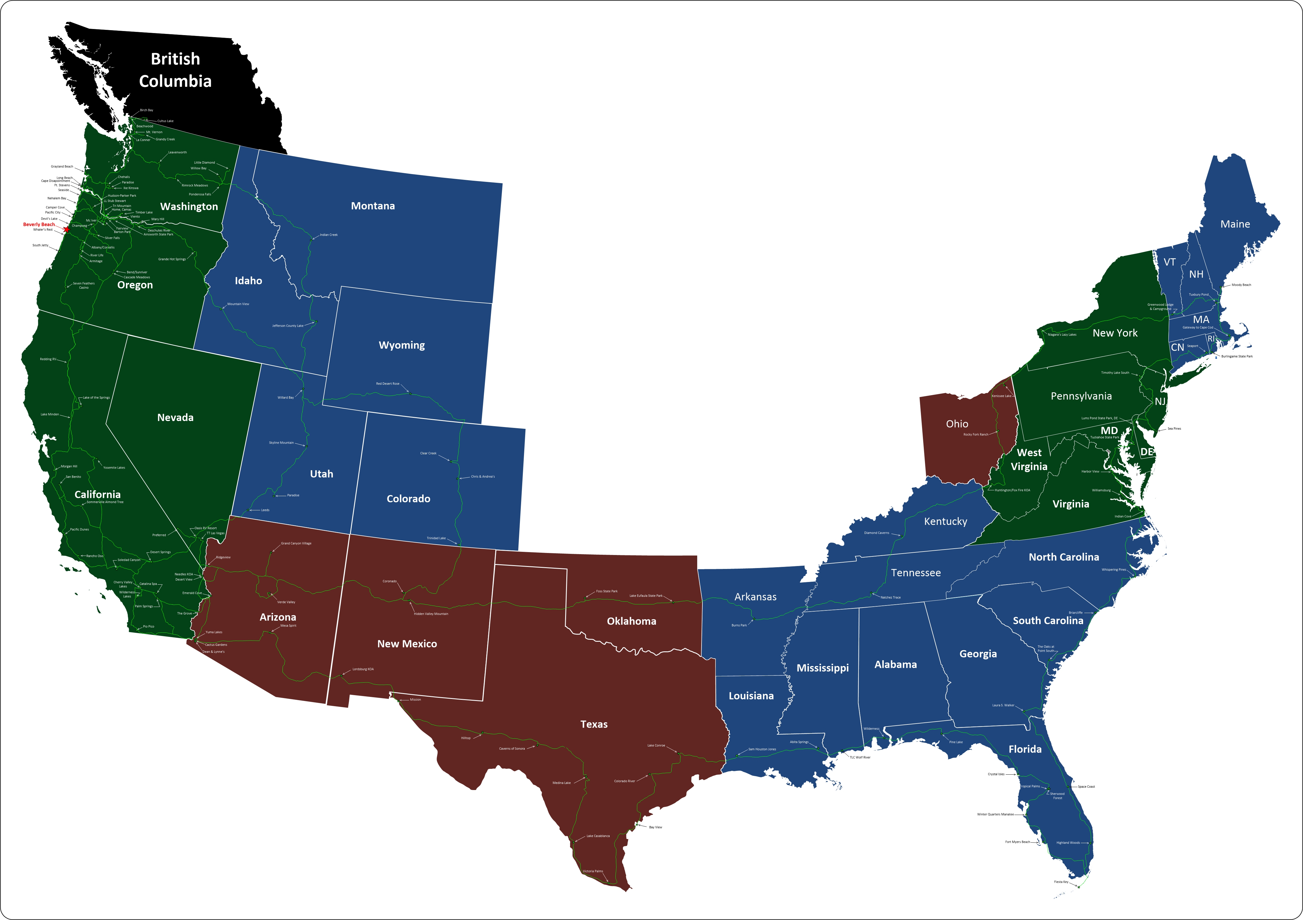
Where We Are Now

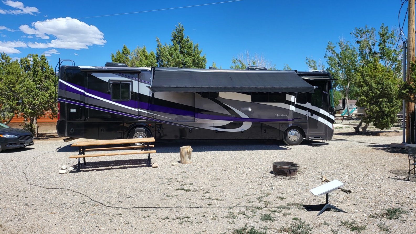
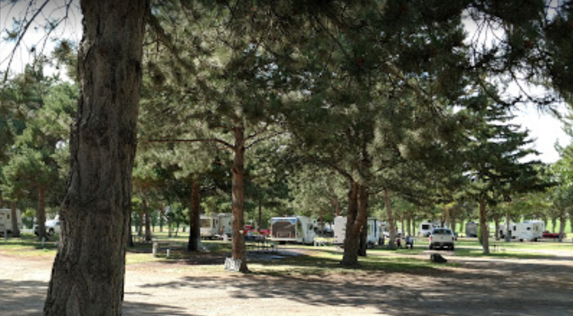
We landed this afternoon at Ely KOA Journey, pretty much right in the middle of Nevada, elevation, 6500 ft. This is just a stop-over for a night, but it really is a nice campground. We plan to drive around this after and check out the town.

   Ely KOA our site

Where We Are on the Map

Where to Next

From here we're heading north to Idaho. Our first stop is a place called Anderson Camp. We plan to spend a couple of days there so we can check out Shoshone Falls and what's left of Twin Falls

 Anderson Camp Stock Photo

Top Panel
Tuesday, 24 December 2024

Screenshot 2022 05 20 click to return

Rick

Rick

Wednesday, 22 May 2019 03:51

Florida

Florida

From Wikipedia

Florida is the southernmost contiguous state in the United States. The state is bordered to the west by the Gulf of Mexico, to the northwest by Alabama, to the north by Georgia, to the east by the Atlantic Ocean, and to the south by the Straits of Florida. Florida is the 22nd-most extensive (65,755 sq mi or 170,300 km2), the 3rd-most populous (21,312,211 inhabitants), and the 8th-most densely populated (384.3/sq mi or 148.4/km2) of the U.S. states. Jacksonville is the most populous municipality in the state and the largest city by area in the contiguous United States. The Miami metropolitan area is Florida's most populous urban area. Tallahassee is the state's capital.

Tuesday, 21 May 2019 23:09

Arkansas

Arkansas

From Wikipedia

Arkansas is a state in the southern region of the United States, home to over 3 million people as of 2018. Its name is of Siouan derivation from the language of the Osage denoting their related kin, the Quapaw Indians. The state's diverse geography ranges from the mountainous regions of the Ozark and the Ouachita Mountains, which make up the U.S. Interior Highlands, to the densely forested land in the south known as the Arkansas Timberlands, to the eastern lowlands along the Mississippi River and the Arkansas Delta.

Tuesday, 21 May 2019 23:05

Alabama

Alabama

From Wikipedia

Alabama is a state in the southeastern region of the United States. It is bordered by Tennessee to the north, Georgia to the east, Florida and the Gulf of Mexico to the south, and Mississippi to the west. Alabama is the 30th largest by area and the 24th-most populous of the U.S. states. With a total of 1,500 miles (2,400 km) of inland waterways, Alabama has among the most of any state.

Tuesday, 21 May 2019 23:02

Texas

Texas

From Wikipedia

Texas is the second largest state in the United States by both area and population. Geographically located in the South Central region of the country, Texas shares borders with the U.S. states of Louisiana to the east, Arkansas to the northeast, Oklahoma to the north, New Mexico to the west, and the Mexican states of Chihuahua, Coahuila, Nuevo León, and Tamaulipas to the southwest, and has a coastline with the Gulf of Mexico to the southeast.

Tuesday, 21 May 2019 22:58

Oklahoma

Oklahoma

From Wikipedia

Oklahoma is a state in the South Central region of the United States, bordered by Kansas on the north, Missouri on the northeast, Arkansas on the east, Texas on the south, New Mexico on the west, and Colorado on the northwest. It is the 20th-most extensive and the 28th-most populous of the fifty United States. The state's name is derived from the Choctaw words okla and humma, meaning "red people". It is also known informally by its nickname, "The Sooner State", in reference to the non-Native settlers who staked their claims on land before the official opening date of lands in the western Oklahoma Territory or before the Indian Appropriations Act of 1889, which dramatically increased European-American settlement in the eastern Indian Territory. Oklahoma Territory and Indian Territory were merged into the State of Oklahoma when it became the 46th state to enter the union on November 16, 1907. Its residents are known as Oklahomans (or colloquially, "Okies"), and its capital and largest city is Oklahoma City.

Tuesday, 21 May 2019 22:54

New Mexico

New Mexico

From Wikipedia

New Mexico is a state in the Southwestern region of the United States of America; its capital and cultural center is Santa Fe, which was founded in 1610 as capital of Nuevo México (itself established as a province of New Spain in 1598), while its largest city is Albuquerque with its accompanying metropolitan area. It is one of the Mountain States and shares the Four Corners region with Utah, Colorado, and Arizona; its other neighboring states are Oklahoma to the northeast, Texas to the east-southeast, and the Mexican states of Chihuahua to the south and Sonora to the southwest. With a population around two million, New Mexico is the 36th state by population. With a total area of 121,592 sq mi (314,920 km2), it is the fifth-largest and sixth-least densely populated of the 50 states. Due to their geographic locations, northern and eastern New Mexico exhibit a colder, alpine climate, while western and southern New Mexico exhibit a warmer, arid climate.
Tuesday, 21 May 2019 22:40

Arizona

Arizona

From Wikipedia

Arizona is a state in the southwestern region of the United States. It is also part of the Western and the Mountain states. It is the sixth largest and the 14th most populous of the 50 states. Its capital and largest city is Phoenix. Arizona shares the Four Corners region with Utah, Colorado, and New Mexico; its other neighboring states are Nevada and California to the west and the Mexican states of Sonora and Baja California to the south and southwest.

Tuesday, 21 May 2019 22:35

Vermont

Vermont

From Wikipedia

Vermont is a state in the New England region of the northeastern United States. It borders the U.S. states of Massachusetts to the south, New Hampshire to the east, New York to the west, and the Canadian province of Quebec to the north. Vermont is the second-smallest by population and the sixth-smallest by area of the 50 U.S. states. The state capital is Montpelier, the least populous state capital in the United States. The most populous city, Burlington, is the least populous city to be the most populous city in a state. As of 2015, Vermont was the leading producer of maple syrup in the United States. In crime statistics, it was ranked since 2016 as the safest state in the country.

Tuesday, 21 May 2019 17:32

Rhode Island

Rhode Island

From Wikipedia

Rhode Island, officially the State of Rhode Island and Providence Plantations, is a state in the New England region of the United States. It is the smallest state in area, the seventh least populous, the second most densely populated, and it has the longest official name of any state. Rhode Island is bordered by Connecticut to the west, Massachusetts to the north and east, and the Atlantic Ocean to the south via Rhode Island Sound and Block Island Sound. It also shares a small maritime border with New York. Providence is the state capital and most populous city in Rhode Island.

Tuesday, 21 May 2019 17:28

New Hampshire

New Hampshire

From Wikipedia

New Hampshire is a state in the New England region of the northeastern United States. It is bordered by Massachusetts to the south, Vermont to the west, Maine and the Atlantic Ocean to the east, and the Canadian province of Quebec to the north. New Hampshire is the 5th smallest by area and the 10th least populous of the 50 states. Concord is the state capital, while Manchester is the largest city in the state. It has no general sales tax, nor is personal income (other than interest and dividends) taxed at either the state or local level. The New Hampshire primary is the first primary in the U.S. presidential election cycle. Its license plates carry the state motto, "Live Free or Die". The state's nickname, "The Granite State", refers to its extensive granite formations and quarries.

Campground Menu


Our Route

Travels 05 08 19 fast Click on map for a larger, slower view.


Our Travels

5 31 19 mappClick on map for a larger view.