Paradise Campground, Panguitch, Utah
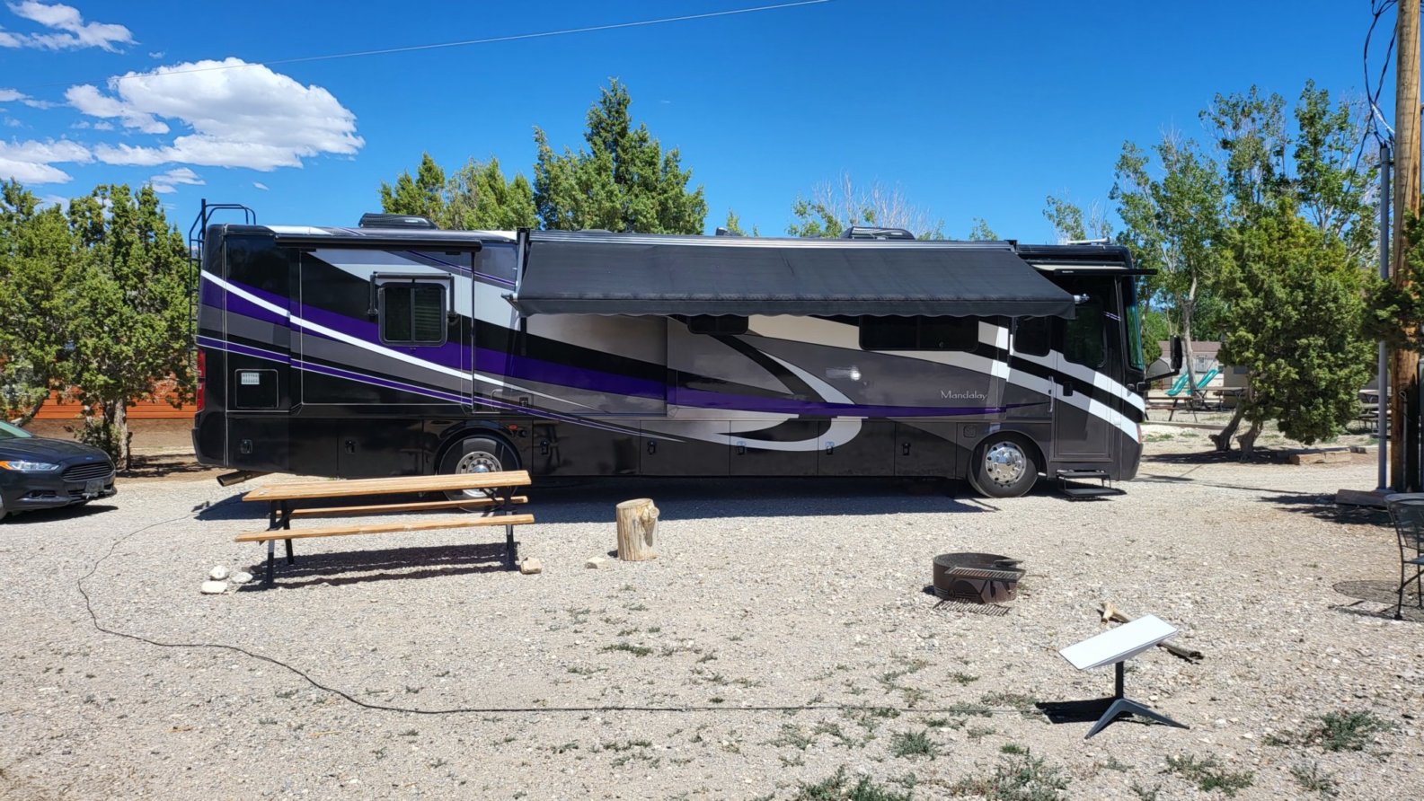
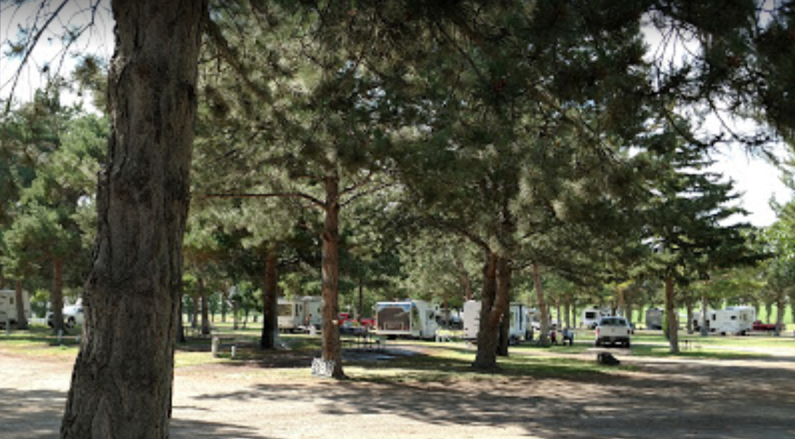
Paradise Campground is a small graveled RV park just north of the town of Panguitch, Utah. From there, it was about a thirty-minute drive to Bryce Canyon. While trying to make reservations I was never able to get anyone on the phone at the office, but they did call back. When we got there, the office was closed. A note on the door told us the rates of the sites and to pick a site and then put money in an envelope and slide it under the door. Over the weekend, no one ever did come to the office. The park was in good shape and looked as if someone had spent a lot of time and money into making the campground really nice and then just stopped, not quite finished with the renovations. Speaking with another camper who had stayed there several times in the past, I guess the park has been this way for years. We found the sites very close together, but there were enough empty campsites that people spaced themselves out. We had no neighbors on either side so it wasn't bad. With the campground being above 6000 feet and it being late September we did wake up to below freezing temperatures.
We arrived at the early enough that we decided to head up to Bryce Canyon that day so that we could leave the cold and head south a day earlier. On the way to Bryce, we drove through Red Canyon and stopped at the visitor's center. Red Canyon is separate from Bryce Canyon and has many hiking trails. Don't make the mistake of asking questions about Bryce Canyon at the wrong visitor's center. When we arrived at Bryce Canyon, we parked at the shuttle bus center outside of the park. We then rode the shuttle into the park, stopping at the visitor's center and then at Bryce Point. From there we could view the main cathedral. The other shuttle stops we more points along the rim of this same cathedral, so we walked most of the rim. There are several trails that lead down into the canyon. Had we more time, better shoes on, and better weather, we would have done more hiking. The rim is over 8000 feet and with the wind, it wasn't very warm that day.
On our second day, we decided to drive up to Cedar Breaks National Monument. The drive up there was beautiful. The birch trees were bright yellow mixed in with the dark evergreens. When we arrived at the rim, we were above 10,000 feet and looking out to the west was a thick cloud cover below us. We were able to view most of Cedar Breaks despite the clouds. At the park's visitor center a couple of young ladies thought it would be cool to have photos taken while standing on top of a fence with a drop of several thousand feet behind them. From what we've seen, it's a wonder more tourist don't lose their lives from trying to get that perfect photo shot. Just down the road, we pulled into Duck Creek Village for lunch. Duck Creek is a haven for ATV'rs and around the area are scores of trails to ride. The area east of Cedar Breaks was made up of several individual peaks and the geography of the land formation was a combination Cclaron Limestone (like Bryce Canyon & Cedar Breaks) and black lava rock. Like we found in Oregon and Washington in places the liver of lava flowing through the cooler rock forming lava tubes. After our visit to Duck Creek, we stopped at one of these tubes, Mammoth Cave.
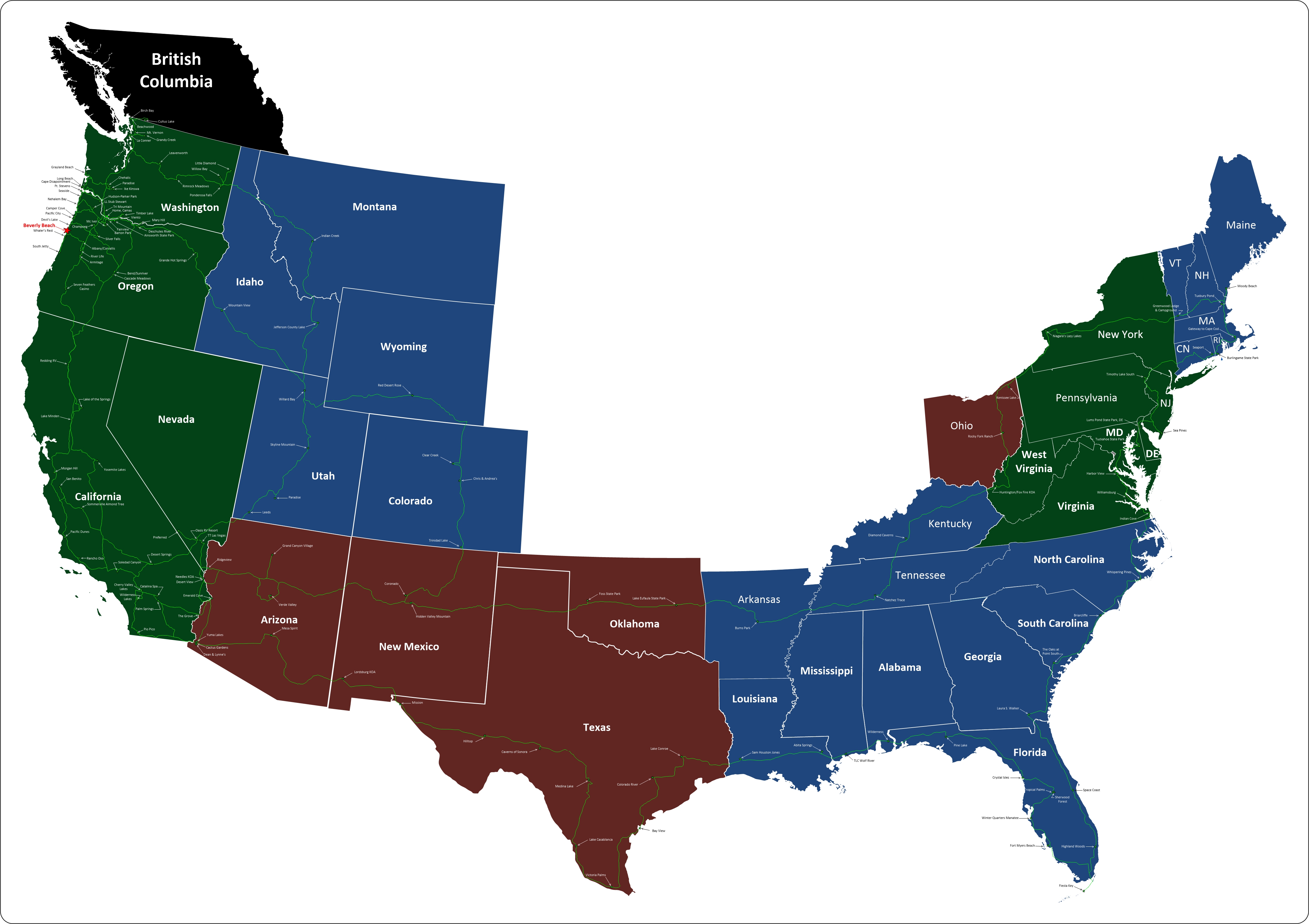
We left there on a Sunday morning heading further south to warmer weather, to get there we had to cross a mountain pass that was covered in a dusting of snow. Two hours later we were setting up camp in Leeds on a sunny 70-degree afternoon.
From their website:


