Where We Are Now

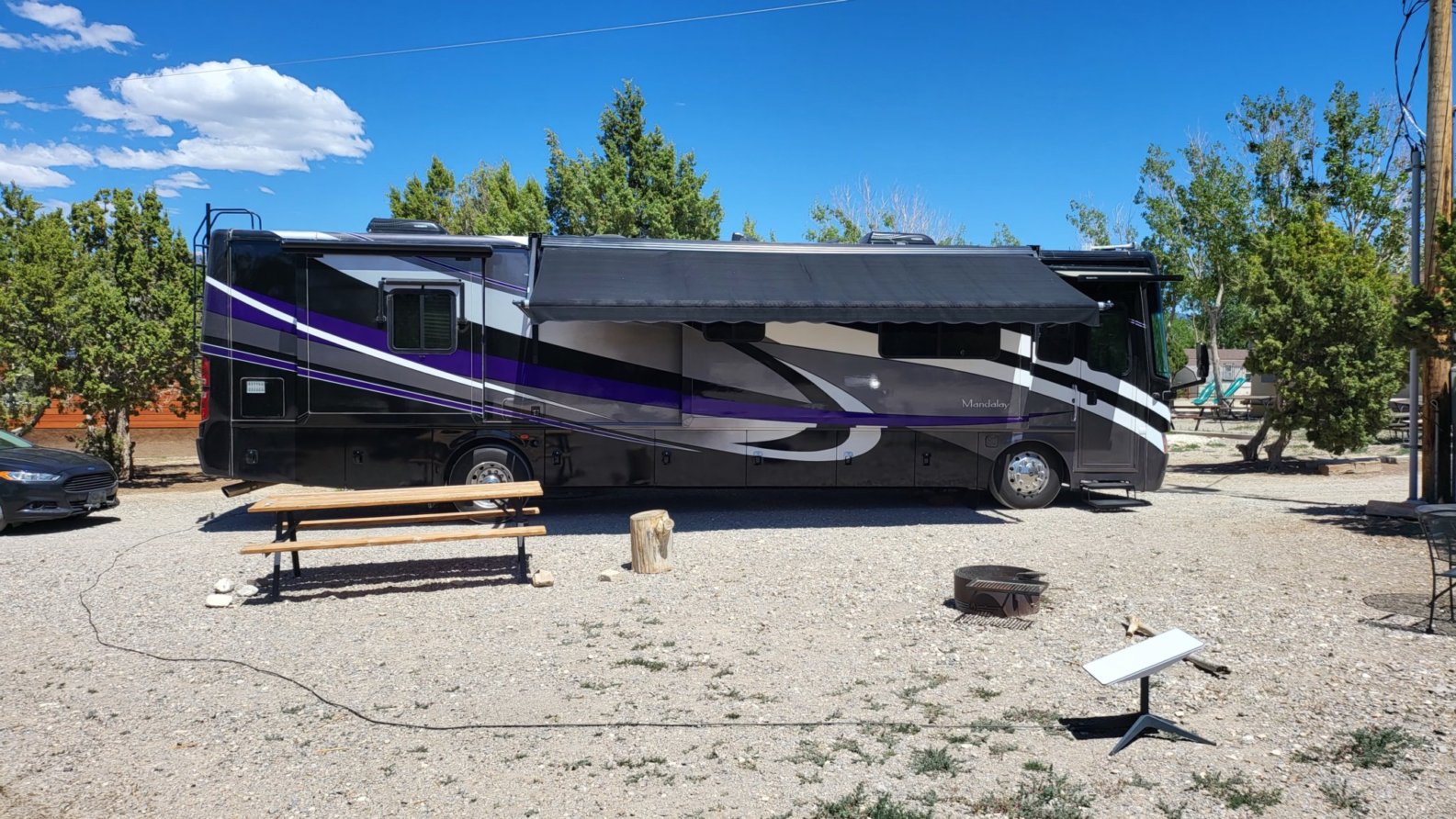
We landed this afternoon at Ely KOA Journey, pretty much right in the middle of Nevada, elevation, 6500 ft. This is just a stop-over for a night, but it really is a nice campground. We plan to drive around this after and check out the town.

   Ely KOA our site

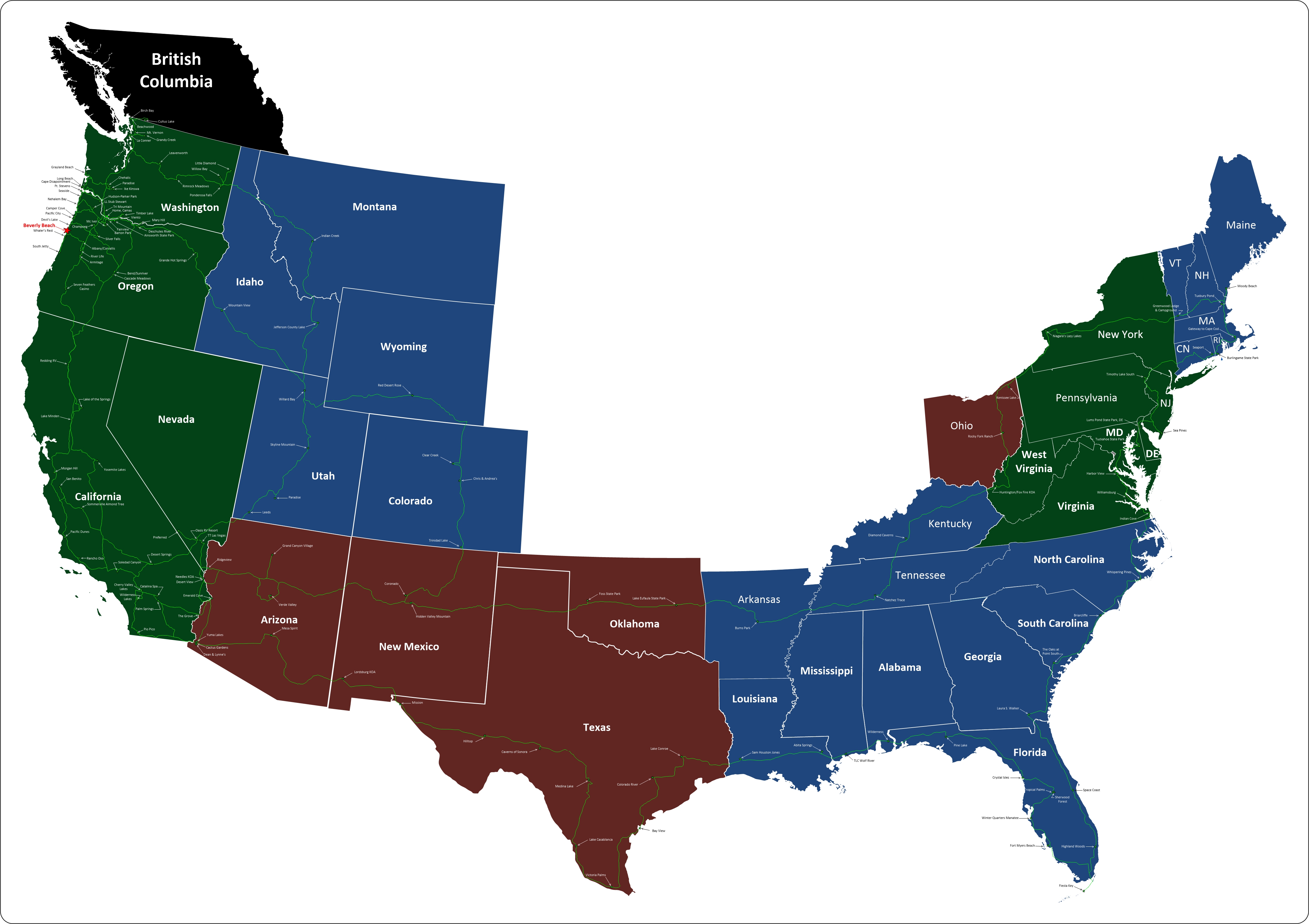
Where We Are on the Map

Where to Next

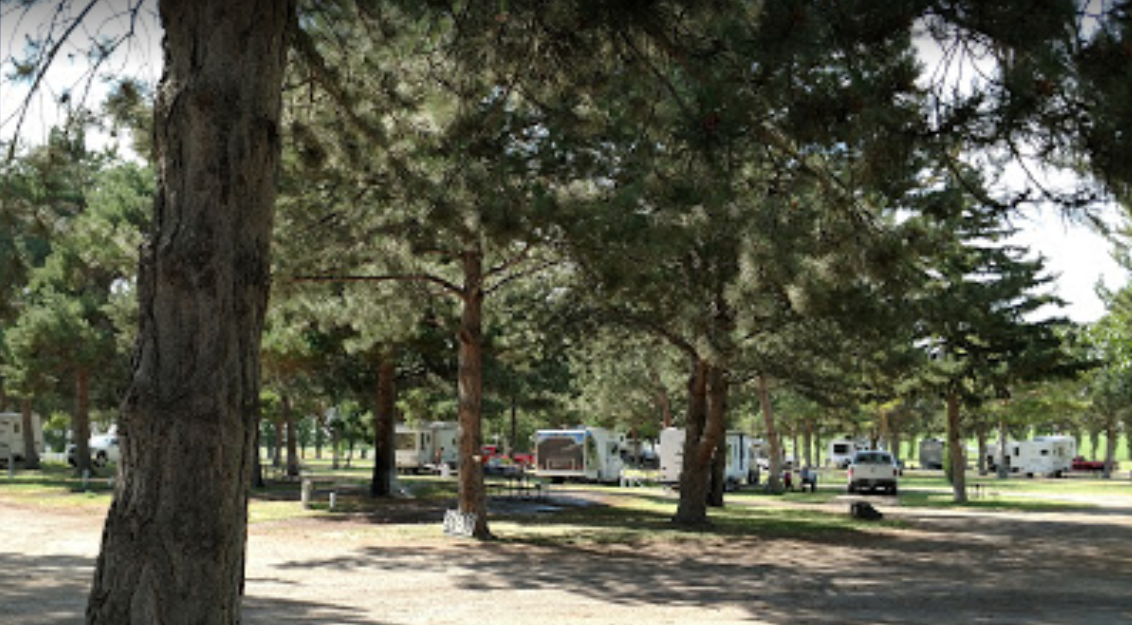
From here we're heading north to Idaho. Our first stop is a place called Anderson Camp. We plan to spend a couple of days there so we can check out Shoshone Falls and what's left of Twin Falls

 Anderson Camp Stock Photo

Top Panel
Thursday, 21 November 2024

Screenshot 2022 05 20 click to return

Idaho

From Wikipedia

Idaho is a state in the northwestern region of the United States. It borders the state of Montana to the east and northeast, Wyoming to the east, Nevada and Utah to the south, and Washington and Oregon to the west. To the north, it shares a small portion of the Canadian border with the province of British Columbia. With a population of around 1.6 million and an area of 83,569 square miles (216,440 km2), Idaho is the 14th largest and 39th most populous of the 50 states. The state's capital and largest city is Boise.

Idaho prior to European settlement was inhabited solely by Native American peoples, some of which still live in the area. In the early 19th century, Idaho was considered part of the Oregon Country, an area disputed between the U.S. and the United Kingdom. It officially became U.S. territory with the signing of the Oregon Treaty of 1846, but a separate Idaho Territory was not organized until 1863, instead of being included for periods in Oregon Territory and Washington Territory. Idaho was eventually admitted to the Union on July 3, 1890, becoming the 43rd state.

Forming part of the Pacific Northwest (and the associated Cascadia bioregion), Idaho is divided into several distinct geographic and climatic regions. In the state's north, the relatively isolated Idaho Panhandle is closely linked with Eastern Washington, with which it shares the Pacific Time Zone – the rest of the state uses the Mountain Time Zone. The state's south includes the Snake River Plain (which contains most of the population and agricultural land), while the southeast incorporates part of the Great Basin. Idaho is quite mountainous and contains several stretches of the Rocky Mountains. Additionally, around 38 percent of Idaho's land is held by the United States Forest Service, the most of any state.
 

Leave a comment

Make sure you enter all the required information, indicated by an asterisk (*). HTML code is not allowed.


Our Route

Travels 05 08 19 fast Click on map for a larger, slower view.


Our Travels

5 31 19 mappClick on map for a larger view.